St Petersburg streets map
You can find on this page the St Petersburg streets map to print and to download in PDF. The St Petersburg roads map presents the road network, main roads, routes and motorways of St Petersburg in Russia.
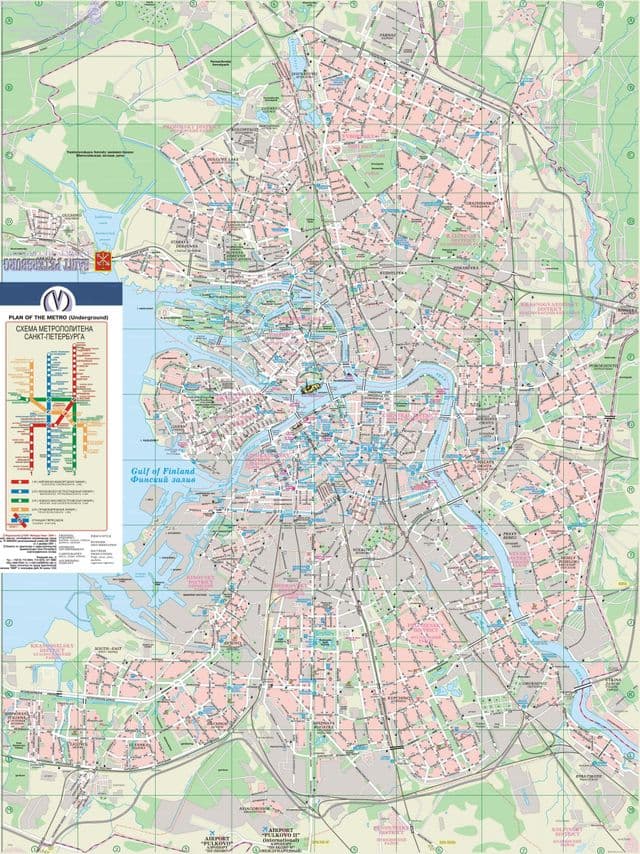
St Petersburg streets map
The St Petersburg streets map shows all street network and main roads of St Petersburg. This streets map of St Petersburg will allow you to find your routes through the streets of St Petersburg in Russia. The St Petersburg streets map is downloadable in PDF, printable and free.
St Petersburg has numerous charming side streets in the historic centre as its mentioned in St Petersburg streets map, representing a more intimate and informal side of the city. On these streets, many of Russia most famous statesmen, scientists and cultural figures lived and worked, and these street guides give you the opportunity to walk in their footsteps.
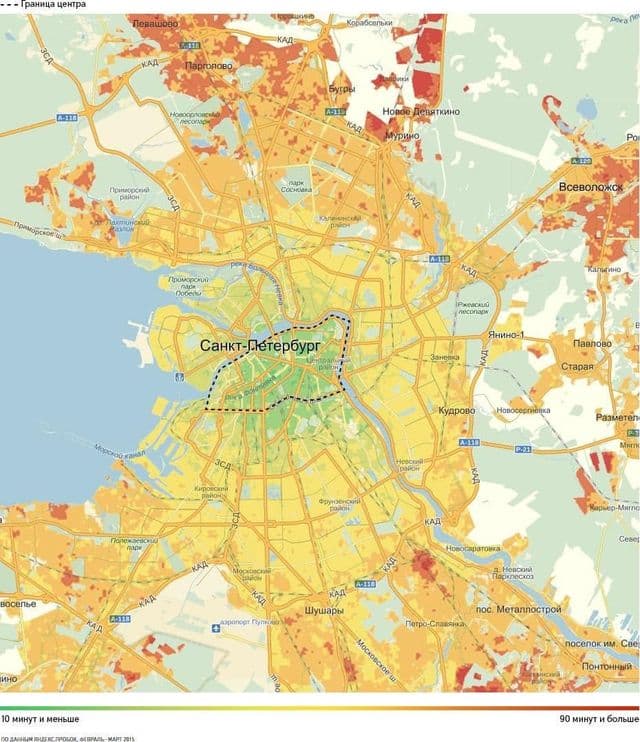
St Petersburg roads map
The St Petersburg roads map shows all road network and highways of St Petersburg. This roads map of St Petersburg will allow you to find your routes through the roads and motorways of St Petersburg in Russia. The St Petersburg roads map is downloadable in PDF, printable and free.
St Petersburg Ring Road (Russian: Санкт-Петербу́ргская кольцева́я автодоро́га) is a ring road currently under ongoing construction in St Petersburg, which encircles the city as its mentioned in St Petersburg roads map. It will, when completed, be the first beltway around the city. The St Petersburg ring road includes Big Obukhovsky Bridge (the only non-raising road bridge across the main River Neva). The Southern half of the ring road is, at present, under continuing construction.