St Petersburg bus system map
You can find on this page the St Petersburg buses map to print and to download in PDF. The St Petersburg bus system map and the St Petersburg trolley map present the network, stations and lines of the buses and trolley of St Petersburg in Russia.
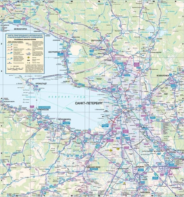
St Petersburg bus map
The St Petersburg bus map shows all the stations and lines of the St Petersburg bus system. This bus map of St Petersburg will allow you to easily plan your routes in the buses of St Petersburg in Russia. The St Petersburg bus system map is downloadable in PDF, printable and free.
St Petersburg has about 300 bus routes, 40 tram routes and 45 trolleybus routes as its mentioned in St Petersburg bus map. Therefore, ground transportation is available at almost every street in the city. Thanks to such an extensive bus network, this is one of the easiest ways to get around St Petersburg.
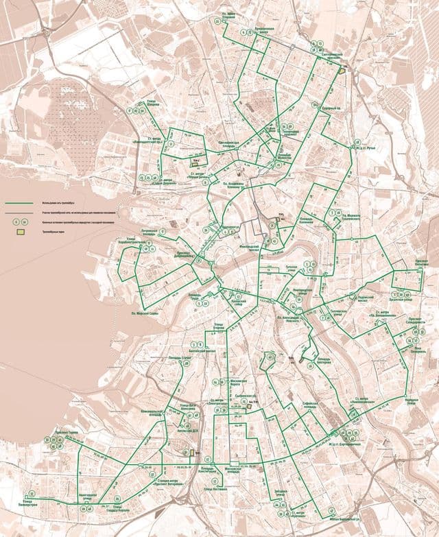
St Petersburg trolley map
The St Petersburg trolley map shows all the stations and lines of the St Petersburg trolleybus system. This trolley map of St Petersburg will allow you to easily plan your routes in the trolleys of St Petersburg in Russia. The St Petersburg trolley system map is downloadable in PDF, printable and free.
St Petersburg trolleys stops are marked with signs with blue letter “T”. They operate exactly the same way as St Petersburg buses and are very common in the centre of the city as its shown in St Petersburg trolley map. The only disadvantage of trolleybuses is that they cannot change lanes, and are therefore more prone to delays when congestion gets bad.